
7901 Comus Road, Dickerson, MD 20842
I’ve been hiking here for 30 years. It’s not far from Rockville – about a 25-minute drive each way. It’s a nice place to get away to, especially when it’s not crowded (during the colder months) or if you’re ever able to go on a weekday (there’s hardly ever anyone there during the week).
Sugarloaf is privately owned by a nonprofit organization – Stronghold, Incorporated – which was created and funded by Gordon and Louise Strong in 1946. Strong was a successful businessman. Over many years, the Strongs purchased a number of individual parcels of land to create a single, three plus square mile property. Sugarloaf is open to the public and free.
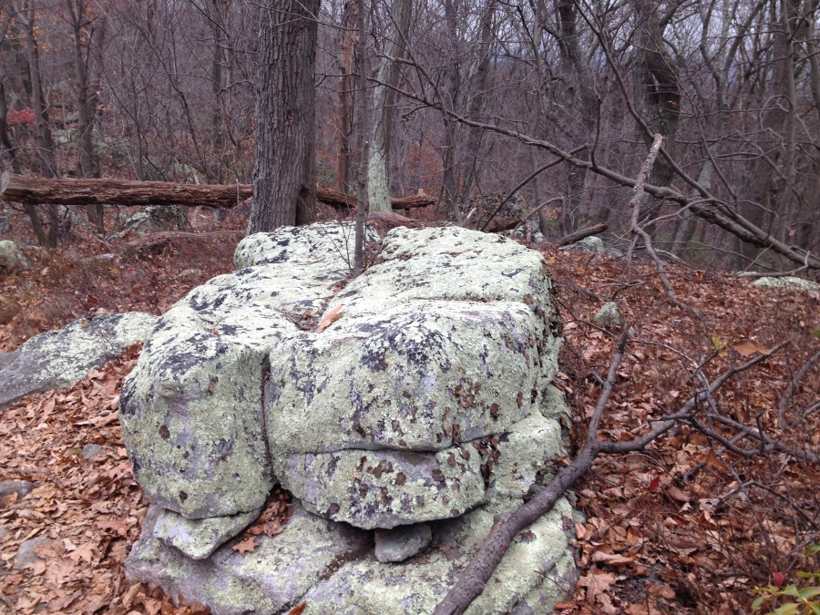
Sugarloaf has over 15 miles of well-marked and well-maintained trails. The summit, at 1,282 feet above sea level and with great views of the surrounding countryside, is accessible via short but steep trails from the East Parking Lot (using the Orange Trail) and the West Parking Lot (using the Green Trail). If you’re interested in longer hikes (and want to get away from the majority of folks there to see the summit), you can combine sections of the other trails (White, Blue, Yellow and/or Purple) to create hikes of just about whatever length you’d like, along forested ridgelines and/or through rolling woodlands.
My family and I, along with our two dogs, went on a seven-mile hike today. It was great to get outside on what was a somewhat chilly day (the temperature was in the 40’s). The dogs had big smiles on their faces the whole way.
Tips/suggestions:
- To get to the East and West Parking Lots, near the summit of the mountain, drive through the entrance gate adjacent to the intersection of Comus Road and Sugarloaf Mountain Road. Proceed on the one-way winding road toward the top of the mountain. When you’re leaving, pay attention to the signs – a different one-way road is for exiting the mountain.
- The entrance gate will be closed when the road to/from the summit is covered with any snow or ice. You’ll still be able to go hiking on Sugarloaf Mountain, but you’ll have to park at the bottom of the mountain. Unfortunately, parking there is very limited.
- After a lot of rain, the Orange Trail to the summit from the East Parking Lot can be especially muddy and difficult. The better bet when the ground is wet, if you’re intent on seeing the summit, would be the Green Trail from the West Parking Lot. This trail has many steps.
- If you’re interested in hiking on trails furthest from the summit (and other people), you can park where the Yellow and Blue trails intersect Mount Ephraim Road. The road is narrow, so be sure your vehicle is completely off the road. From there, you can directly access the northernmost sections of the Yellow and Blue Trails, and the Purple Trail.
- Sugarloaf Mountain Vineyard is at 12815 Comus Road, on the way between I-270 and Sugarloaf Mountain. You can relax and buy wine by the glass, along with cheese and other hors d’oeuvres. It can be a nice stop after visiting Sugarloaf Mountain.
Resources/links:
Sugarloaf Mountain homepage:
http://www.sugarloafmd.com
Printable trail map:
http://www.sugarloafmd.com/images/maps/102709_trailmap.pdf